January 17, 2020
sprep-pa
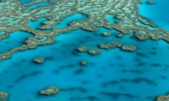
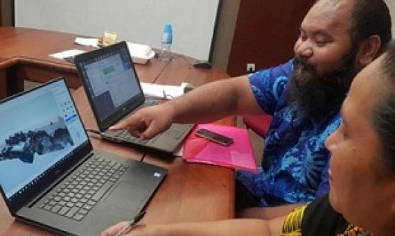
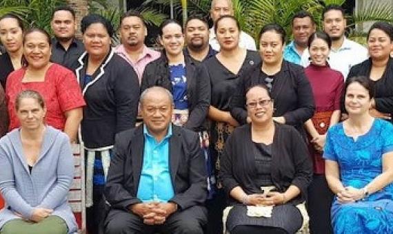
There is no doubt that the Pacific’s ocean needs to be better managed so that respective countries in the region can gain the maximum benefits. This is something the Government of Tonga believes should be done urgently...Tonga plans to implement the Ocean Plan by the end of this year.