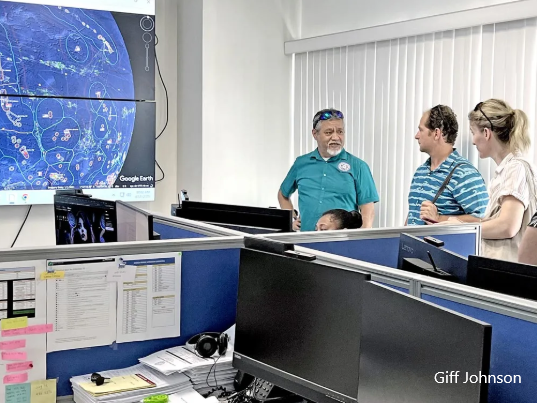
A deep sea mapping project will focus on the Marshall Islands as one of several islands in the region to have their ocean floors mapped later this year.
The Ocean Exploration Trust is partnering with the Marshall Islands Marine Resources Authority on the upcoming visit of its vessel Nautilus. In addition to partnering with MIMRA, the Ocean Exploration Trust is working closely with the National Geographic Pristine Seas program, that was in the RMI last year documenting the rich marine life in and around Bokak and Bikar in the northern Marshall Islands.
This year, the organization is starting in the Mariana Islands, then moving to the Solomon Islands and later coming to the RMI during August for two-and-a-half-weeks of researching the ocean floor and sea mounts within the Marshall Islands 200-mile zone.
Megan Cook, the director of Education and Outreach for the Ocean Exploration Trust, told the Journal that the organization specializes in deep sea mapping.


