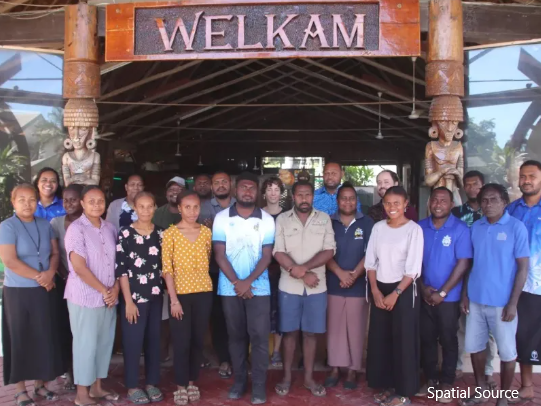
A week-long training on using open-source GIS tools and remote sensing satellite data from the Pacific Community’s (SPC) Digital Earth Pacific (DE Pacific) will enable Solomon Islands government officials and researchers to better map, monitor and protect seagrass and mangrove ecosystems.
The training, conducted as part of the Management and Conservation of Blue Carbon Ecosystems (MACBLUE) project, brought together participants from government and academia to bridge a vital knowledge gap in environmental monitoring data collection and analysis. “I have a very basic knowledge about GIS, but not QField [for GPS field data collection], to extract the field data,” said Tracey Vunagi, an Environmental Management lecturer at the Solomon Islands National University.


