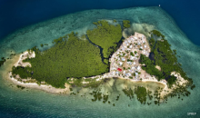
A training on Geographic Information Systems (GIS) for the Fisheries Division of Samoa’s Ministry of Agriculture and Fisheries (MAF) marks the beginning of a new era in leveraging the power of geospatial data analysis, mapping, and visualisation tools to assist community fisheries management in Samoa.