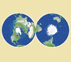
The problem of how to depict the curved surface of the Earth on a flat map has troubled cartographers for centuries. There are many ways of doing it, but they all have downsides. Take one of the most famous: the cylindrical Mercator projection, used by Google Maps. Devised by the Flemish geographer Gerardus Mercator in 1569, it prioritised navigation for sailors and enabled sailors to identify the shortest distance between two points.