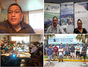
Protected area practitioners and stakeholders of the Republic of the Marshall Islands (RMI) are now equipped with the skills to produce basic maps of protected and conserved areas following an online, virtually delivered training on the upgraded tools and features of the Pacific Islands Protected Area Portal (PIPAP) and the application of related geographic information systems (GIS). The virtual training utilised free, open-source GIS software and involved hands-on capture of spatial data in the field.