When we give a name to a country, a bioregion, or a geographic feature, we tend to imagine it as a ‘place’ in and of itself. But the truth is that where such places begin and end is a cultural decision, varies depending on who’s using it, and is almost always up for debate.
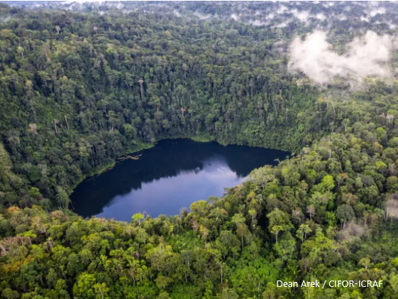
The Managalas Conservation Area (MCA) stretches 214,696 hectares across a plateau of forests and grasslands, on the northern side of the range of mountains that arcs across the island of New Guinea. It is divided geographically into 11 zones and was declared in 2017 following a three-decade engagement process led by Port Moresby-based NGO Partners With Melanesians (PWM) with funding from the Rainforest Foundation Norway (RFN): an impressive achievement for conservation in a country where community agreement over the usage of such a large portion of populated land is difficult to come by (see graph on page 16 of this biodiversity forum report).


