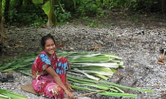
In the accelerated push towards conserving 30% of the Earth's land and water by 2030, asking who, as well as what, is on the map must be at the heart of the conversation.
Spatial Use of Marine Resources in a Village: A case study from Qoma, Fiji
Understanding the value of fishers’ Indigenous and Traditional Knowledge (ITK) and of fishers’ spatial use of customary fishing grounds is an important contributing factor to marine resource management. This study investigates and documents ITK of marine resources and the associated spatial knowledge of fishing areas in Qoma, a rural fishing village in Fiji. Using a sex-generational lens, our research combines theory and methods from Participatory Geographic Information Systems and ethnography.
A national training for government officers across the environment and fisheries sectors as well as non-government organisations co-organised and implemented by the Secretariat of the Pacific Regional Environment Programme (SPREP) and the Samoa Ministry of Natural Resources and Environment (MNRE)
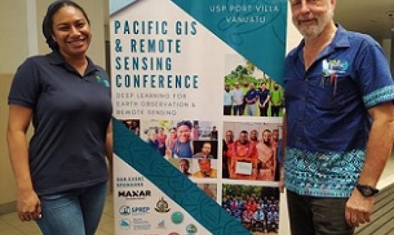
The University of the South Pacific vice-chancellor Professor Pal Aluwhalia opened the two-day Pacific GIS and Remote Sensing (PGRSC) virtual conference hosted by the Vanuatu Government yesterday...The PGRSC annual conference provides a platform for geoscience and remote sensing users from across


