Amid challenges heightened by the COVID-19 pandemic and discussions about the possibility of opening its marine sanctuary, which currently protects 80% of its waters, the Palau Government unveiled a bold objective: to manage 100% of its exclusive marine economic zones (EEZ), employing Marin
The Marine Spatial Planning Index: a tool to guide and assess marine spatial planning
Marine spatial planning (MSP) has the potential to balance demands for ocean space with environmental protection and is increasingly considered crucial for achieving global ocean goals. In theory, MSP should adhere to six principles, being: (1) ecosystem-based, (2) integrated, (3) place-based, (4) adaptive, (5) strategic, and (6) participatory. Despite nearly two decades of practice, MSP continues to face critical challenges to fully realize these principles, hindering its ability to deliver positive outcomes for people and nature.
Seabed Minerals Authority senior technical officer Rima Browne has led the creation of a new seabed map – the first of its kind for the Cook Islands.
PENAMA has become the first province in Vanuatu to have a Marine Spatial Plan (MSP).
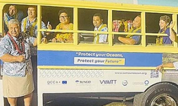
Representatives of Government Ministries, civil society, academia and the public gathered recently to witness the launch of Samoa’s awareness and educational materials on ocean conservation. Funded by the European Union’s GCCA+, the Marine Spatial Planning (MSP) is a four-year project (2019
Beyond the boundaries: How regulation-centered marine protected area information improves ocean protection assessments
Comprehensive, spatially explicit data that include regulatory information are essential for evaluating the level of protection that marine protected areas (MPAs) and other marine managed areas (MMAs) provide to marine life, and to inform progress towards ocean protection targets. An analysis based on the ProtectedSeas database, which includes information on regulated activities, found that 85% of U.S.
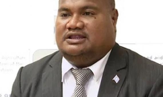
Members of the Olbiil Era Keluau yesterday adopted amendments to the supplemental budget to pave way for the Blue Prosperity funding assistance, while Congress gave approval to the marine spatial planning.
“There is enough available data now to do a marine spatial planning,” stated Senator Umiich Sengebau, also a former Minister of Natural Resources, Environment & Tourism (MNRET), the ministry that was renamed the Ministry of Fisheries, Agriculture & Environment (MAFE)...We have all that in
Conserving marine biodiversity, avoiding species extinction and maintaining food security from wild capture fisheries can all be achieved simultaneously if a global, non-regionalized approach to marine spatial management is undertaken by the signatories of IUCN Resolution 50, which calls for the
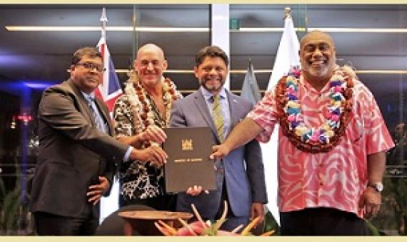
The Fijian government has signed a Memorandum of Understanding with the Waitt Institute to help Fiji develop a sustainable ocean plan. The US-based institute creates and implements sustainable ocean plans in partnership with committed governments, local stakeholders, and communities.

