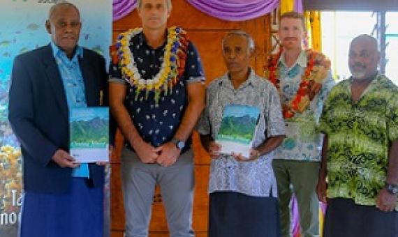
Twenty-five villages and a total population of about 9000 people on Ovalau have stood behind their chiefs and traditional leaders to take ownership of their actions and control how it affects the ecosystem they depend on for their daily livelihoods.
Include biodiversity representation indicators in area-based conservation targets
Advances in spatial biodiversity science and nationally available data have enabled the development of indicators that report on biodiversity outcomes, account for uneven global biodiversity between countries, and provide direct planning support. We urge their inclusion in the post-2020 global biodiversity framework.
Learn how to plan and manage effective conservation projects using the Open Standards for the Practice of Conservation.
Reimmanlok - Marshall Islands' National Conservation Area Plan
Global biodiversity loss is rapid and ongoing. International efforts are redoubling as the international community realizes the importance of biodiversity in maintaining our life support systems. In 2004 Parties to the Convention on Biological Diversity committed to have effectively conserved at least 10% of marine and coastal ecological regions globally by 2010. Micronesian leaders responded to this commitment, and have taken this one step further by committing to effectively conserve 30% of nearshore marine and 20% of terrestrial resources by the year 2020.
"Good intentions" do not generally produce "good results." This wisdom also applies to establishing coherent environmental policies. Without proper oversight and planning, environmental policies can lead to unintended and harmful side effects.
Marine zoning revisited: How decades of zoning the Great Barrier Reef has evolved as an effective spatial planning approach for marine ecosystem‐based management
For more than 40 years, marine zoning has played a key role while evolving as part of the adaptive management of the Great Barrier Reef (GBR) Marine Park.
Designing protected area networks that translate international conservation commitments into national action
Here we undertake a cost-effective approach to protected area planning in Guyana that accounts for in-country conditions. To do this we conducted a stakeholder-led spatial conservation prioritisation based on meeting targets for 17 vegetation types and 329 vertebrate species, while minimising opportunity costs for forestry, mining, agriculture and urbanisation. Our analysis identifies 3 million ha of priority areas for conservation, helping inform government plans to double the current protected area network from 8.5 to 17%.
The essential role of other effective area-based conservation measures in achieving big bold conservation targets
We argue that OECMs are essential to the achievement of big and bold conservation targets such as Half-Earth. But integration of OECMs into the conservation estate requires fundamental changes in protected area planning and how the conservation community deals with human rights and social safeguards issues; it therefore challenges our understanding of what constitutes “conservation”. It will only succeed if the key drivers of biodiversity and ecosystem service loss are addressed in the whole planet.
This Participatory 3D Model (P3DM) of Kitti Municipality on the southwest corner of Pohnpei provides a clear picture of the area from the top of the ridges to the outer barrier reef. With this scale model (1:7,500) all members of the community, leaders, and those lucky enough to visit,