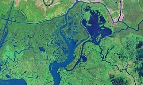
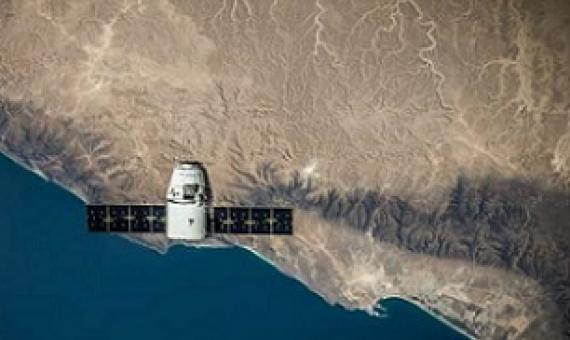
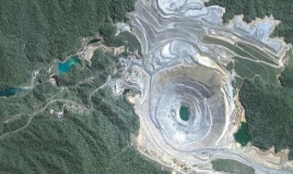
If you want to track changes in the Amazon rainforest, see the full expanse of a hurricane or figure out where people need help after a disaster, it's much easier to do with the view from a satellite orbiting a few hundred miles above Earth.
A natural habitat's ability to withstand and recover from damage can be empirically monitored from space—and the method may prove important during upcoming decades of climate and land-use change.
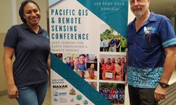
The University of the South Pacific vice-chancellor Professor Pal Aluwhalia opened the two-day Pacific GIS and Remote Sensing (PGRSC) virtual conference hosted by the Vanuatu Government yesterday...The PGRSC annual conference provides a platform for geoscience and remote sensing users from across
QUT researchers have developed a new machine learning mathematical system that helps to identify and detect changes in biodiversity, including land clearing, when satellite imagery is obstructed by clouds.
As the use of drones continues to rise throughout the island in both educational and commercial sectors, the University of Guam via NASA Guam Space Grant and NASA Guam EPSCoR will be offering its first-ever drone certification and training program for UOG students...Potential projects that would
Terrestrial ecosystems are defined in large part by their woody plants.
Remote sensing of coastal and marine ecosystems is particularly challenging.
Satellites can help monitor industry and highlight environmental harm.
Monitoring Coral Reefs from Space
Coral reefs are one of the world’s most biologically diverse and productive ecosystems. However, these valuable resources are highly threatened by human activities. Satellite remotely sensed observations enhance our understanding of coral reefs and some of the threats facing them by providing global spatial and time-series data on reef habitats and the environmental conditions influencing them in near-real time.
Remote Sensing and Modeling of Coral Reef Resilience
A new paradigm has emerged for management of coral reefs in an era of changing climate – managing for resilience. A fundamental need for such management to be effective is our ability to measure and map coral reef resilience. We review the resilience concept and factors that may make a coral reef more or less resilient to climate-driven impacts, and focus on recent advances in a trio of technologies – remote sensing, spatial distribution modeling, and ecosystem simulation – that promise to improve our ability to quantify coral reef resilience across reefs.

