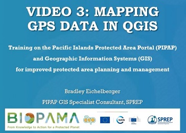
This package/collection of training materials constitute an introductory, basic-level training to open source GIS software (QGIS) targeting technical-level government officers. The primary goal of the material is to provide participants with the tools to visualise, map, and collect spatial data for more effective planning and management of protected areas. The materials include a series of presentations, video lectures and step-by-step instructions which were utilised in recent in-country technical trainings successfully carried out for two Pacific island countries, Samoa and Vanuatu and are planned to be used for further country trainings in the Pacific region. The training materials were produced by the Secretariat of the Pacific Regional Environment Programme (SPREP) through assistance from the EU-ACP Biodiversity and Protected Areas Management (BIOPAMA) Programme (www.biopama.org). The contents of these materials are the sole responsibility of SPREP and can in no way be taken to reflect the views of the donors.