November 21, 2019
sprep-pa
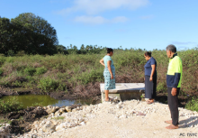
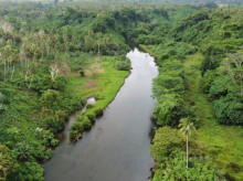
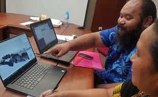
The main objective of the training was to build the capacities of GOS and Government Corporations to increase their access to, and their skills in spatial data management, storage and use of GIS in natural resource planning.The training was organised by the Section of National Mapping under the Technical Division of the Ministry of Natural Resources and Environment (MNRE) and facilitated by GIS Technical Officers from the International Union for Conservation of Nature’s Oceania Regional Office (IUCN-ORO). This is the first of a number of GIS training sessions as part of a broader Project to develop a marine spatial plan for Samoa’s entire ocean.