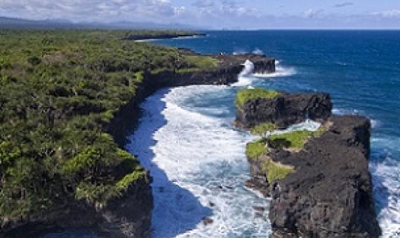
The training for the S.C.S. staff and members was run by the International Union for Conservation of Nature (IUCN Oceania). S.C.S. President James Atherton said the O le Pupu Puʿe is the oldest national park in Samoa.
Pacific island countries, including PNG, took part in a blue carbon training which the Australian Government provided last month in Australia.
A national training for government officers across the environment and fisheries sectors as well as non-government organisations co-organised and implemented by the Secretariat of the Pacific Regional Environment Programme (SPREP) and the Samoa Ministry of Natural Resources and Environment (MNRE)
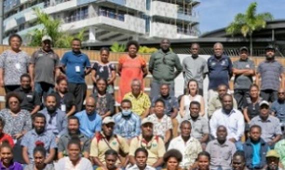
Key Conservation stakeholders in Papua New Guinea will benefit from training to strengthen sustainable financing skills to reduce funding gaps facing the country's protected areas network...the intensive training sessions, delivered by UNDP in partnership with the government's conservation and en
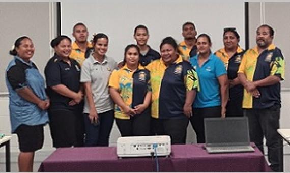
Government stakeholders of the Republic of Nauru are now equipped with hands-on, practical knowledge of finding relevant up-to-date data, information resources and technical guidance to assist planning for protected and conserved area establishment and management...It follows a virtual training o
A five day intensive tour guide training was conducted for locals at Tetepare Island, Western Province recently. The training was led by Bjorn Svensson – a tourism technical advisor.
Open Source GIS Training for Improved Protected Area Planning and Management in Vanuatu
Dataset contains training material on using open source Geographic Information Systems (GIS) to improve protected area planning and management from a workshop that was conducted on February 26-28, 2020. Specifically, the dataset contains lectures on GIS fundamentals, QGIS 3.x, and global positioning system (GPS), as well as country-specific datasets and a workbook containing exercises for viewing data, editing/creating datasets, and creating map products in QGIS.
Open Source GIS Training for Improved Protected Area Planning and Management in the Solomon Islands
Dataset contains training material on using open source Geographic Information Systems (GIS) to improve protected area planning and management from a workshop that was conducted on October 19-23, 2020. Specifically, the dataset contains lectures on GIS fundamentals, QGIS 3.x, and global positioning system (GPS), as well as country-specific datasets and a workbook containing exercises for viewing data, editing/creating datasets, and creating map products in QGIS.
Open Source GIS Training for Improved Protected Area Planning and Management in Samoa
Dataset contains training material on using open source Geographic Information Systems (GIS) to improve protected area planning and management from workshops that were conducted on February 19-21 and October 6-7, 2020. Specifically, the dataset contains lectures on GIS fundamentals, QGIS 3.x, and global positioning system (GPS), as well as country-specific datasets and a workbook containing exercises for viewing data, editing/creating datasets, and creating map products in QGIS.
Open Source GIS Training for Improved Protected Area Planning and Management in the Republic of the Marshall Islands
Dataset contains training material on using open source Geographic Information Systems (GIS) to improve protected area planning and management from a workshop that was conducted on August 17-21, 2020. Specifically, the dataset contains lectures on GIS fundamentals, QGIS 3.x, and global positioning system (GPS), as well as country-specific datasets and a workbook containing exercises for viewing data, editing/creating datasets, and creating map products in QGIS.


