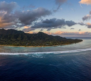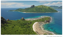
Seabed Minerals Authority senior technical officer Rima Browne has led the creation of a new seabed map – the first of its kind for the Cook Islands. The new seabed geomorphology map was recently published in the international publication Journal of Maps and will help provide a better understanding of marine environment habitats and mineral potential, which is important considering the Cook Islands is 99.99% ocean and seabed.


