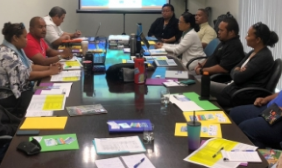
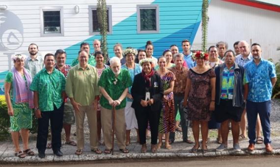
To formally launch the second phase of the Biodiversity and Protected Areas Management (BIOPAMA) programme, a regional inception workshop for the Pacific was held at the Tanoa Tusitala Hotel, Apia, Samoa from 11th to 15th June 2018. The aim of the inception workshop was to ensure that all 15 countries in the Pacific ACP Group of States were engaged for the second phase of BIOPAMA. The working title of the workshop was ‘Regional Workshop on Improving Information and Capacity for More Effective Protected Area Management and Governance in the Pacific’.


