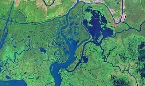
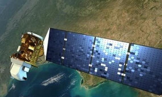
If you want to track changes in the Amazon rainforest, see the full expanse of a hurricane or figure out where people need help after a disaster, it's much easier to do with the view from a satellite orbiting a few hundred miles above Earth.
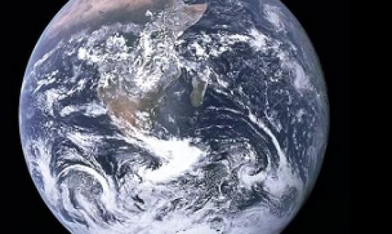
December 7 marks the 50-year anniversary of the Blue Marble photograph. The crew of NASA’s Apollo 17 spacecraft – the last manned mission to the Moon – took a photograph of Earth and changed the way we visualised our planet forever.
Fifty years ago, U.S. scientists launched a satellite that dramatically changed how we see the world.
Sentinel-2 Satellite Imagery - Vanuatu
SENTINEL-2 is a wide-swath, high-resolution, multi-spectral imaging mission, supporting Copernicus Land Monitoring studies, including the monitoring of vegetation, soil and water cover, as well as observation of inland waterways and coastal areas.
The SENTINEL-2 Multispectral Instrument (MSI) samples 13 spectral bands: four bands at 10 metres, six bands at 20 metres and three bands at 60 metres spatial resolution.
Sentinel-2 Satellite Imagery - Tuvalu
SENTINEL-2 is a wide-swath, high-resolution, multi-spectral imaging mission, supporting Copernicus Land Monitoring studies, including the monitoring of vegetation, soil and water cover, as well as observation of inland waterways and coastal areas.
The SENTINEL-2 Multispectral Instrument (MSI) samples 13 spectral bands: four bands at 10 metres, six bands at 20 metres and three bands at 60 metres spatial resolution.
Sentinel-2 Satellite Imagery - Tonga
SENTINEL-2 is a wide-swath, high-resolution, multi-spectral imaging mission, supporting Copernicus Land Monitoring studies, including the monitoring of vegetation, soil and water cover, as well as observation of inland waterways and coastal areas.
The SENTINEL-2 Multispectral Instrument (MSI) samples 13 spectral bands: four bands at 10 metres, six bands at 20 metres and three bands at 60 metres spatial resolution.
Sentinel-2 Satellite Imagery - Solomon Islands
SENTINEL-2 is a wide-swath, high-resolution, multi-spectral imaging mission, supporting Copernicus Land Monitoring studies, including the monitoring of vegetation, soil and water cover, as well as observation of inland waterways and coastal areas.
The SENTINEL-2 Multispectral Instrument (MSI) samples 13 spectral bands: four bands at 10 metres, six bands at 20 metres and three bands at 60 metres spatial resolution.
Sentinel-2 Satellite Imagery - Samoa
SENTINEL-2 is a wide-swath, high-resolution, multi-spectral imaging mission, supporting Copernicus Land Monitoring studies, including the monitoring of vegetation, soil and water cover, as well as observation of inland waterways and coastal areas.
The SENTINEL-2 Multispectral Instrument (MSI) samples 13 spectral bands: four bands at 10 metres, six bands at 20 metres and three bands at 60 metres spatial resolution.
Sentinel-2 Satellite Imagery - Marshall Islands
SENTINEL-2 is a wide-swath, high-resolution, multi-spectral imaging mission, supporting Copernicus Land Monitoring studies, including the monitoring of vegetation, soil and water cover, as well as observation of inland waterways and coastal areas.
The SENTINEL-2 Multispectral Instrument (MSI) samples 13 spectral bands: four bands at 10 metres, six bands at 20 metres and three bands at 60 metres spatial resolution.
Sentinel-2 Satellite Imagery - Kiribati
SENTINEL-2 is a wide-swath, high-resolution, multi-spectral imaging mission, supporting Copernicus Land Monitoring studies, including the monitoring of vegetation, soil and water cover, as well as observation of inland waterways and coastal areas.
The SENTINEL-2 Multispectral Instrument (MSI) samples 13 spectral bands: four bands at 10 metres, six bands at 20 metres and three bands at 60 metres spatial resolution.


