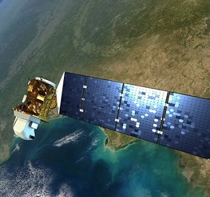
Fifty years ago, U.S. scientists launched a satellite that dramatically changed how we see the world. It captured images of Earth's surface in minute detail, showing how wildfires burned landscapes, how farms erased forests, and many other ways humans were changing the face of the planet. The first satellite in the Landsat series launched on July 23, 1972.


