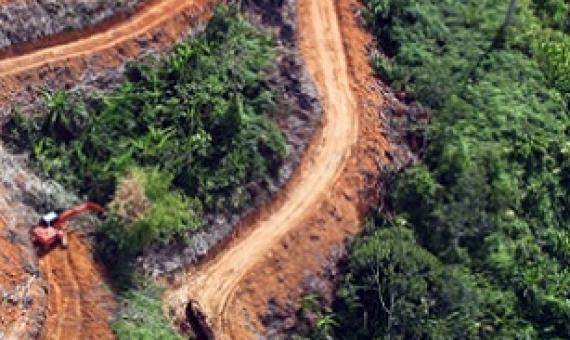
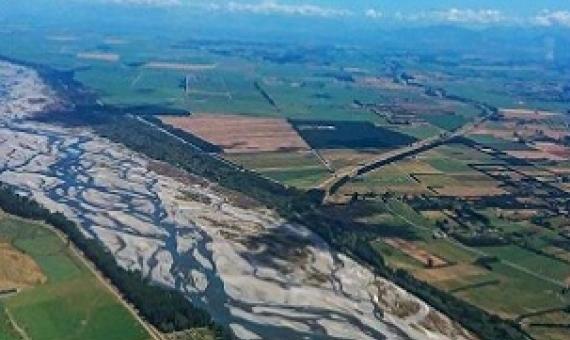
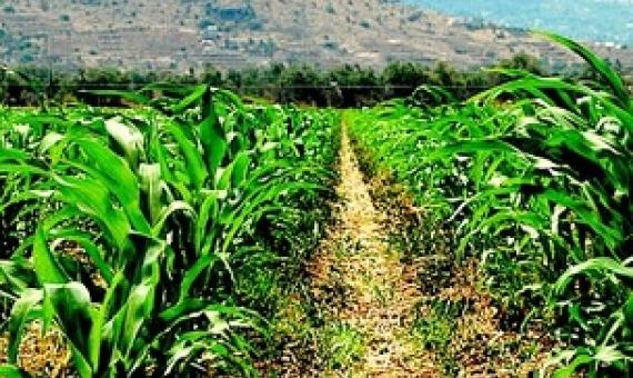
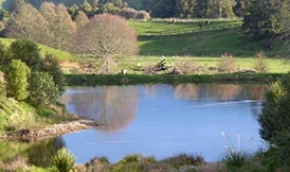
  • SPREP Home
  • Protected Areas
SPREP Home
Log in
Search
Home | PIPAP - Supporting the sustainable management of protected areas in the Pacific Region.
  • Data
    • Protected Areas
    • Management Effectiveness Dashboard
    • Spatial Data
  • Assistance
    • How SPREP Helps
    • WDPA Protected Area Registration
    • Protected Area Working Group
  • Resource Hub
    • Publications
    • Decision Making Support Tools
    • Case Studies
  • Newsletter
    • Browse Newsletter Archive
    • Subscribe Now
  • Account
    • Login

Main menu

  • Data
  • Assistance
  • Resource Hub
  • Newsletter
  • Account

Breadcrumb

Home

Illegal clearing for agriculture is driving tropical deforestation. Credit - www.mongabay.com
Illegal clearing for agriculture is driving tropical deforestation: Report
May 27, 2021

In a new report, NGO Forest Trends found that at least 69% of tropical forests cleared for agricultural activities such as ranching and farmland between 2013 and 2019 was done in violation of national laws and regulations.

  • Read more about Illegal clearing for agriculture is driving tropical deforestation: Report
Waimakariki, Cantebury, New Zealand.
Small Steps Boost Biodiversity Vision
April 23, 2021

Farmers discovered that there are many ways to protect and enhance mahinga kai and biodiversity values while visiting Waimak Farm in Eyreton last week.

  • Read more about Small Steps Boost Biodiversity Vision
Protected areas vulnerable to growing emphasis on food security. Credit - https://www.theanchor.co.zw/
Protected areas vulnerable to growing emphasis on food security
January 22, 2021

Protected areas are critical to mitigating extinction of species; however, they may also be in conflict with efforts to feed the growing human population.

  • Read more about Protected areas vulnerable to growing emphasis on food security
The wetland area where the first restoration planting was carried out. Credit - Mark and Felicity Brough/Stuff
Farm biodiversity map highlights falcons, kākahi and glowworms
October 23, 2020

Two North Island farmers are hoping their unique methods of boosting biodiversity and controlling predators on their farm will inspire others. Mark and Felicity Brough created a biodiversity map of their sheep and beef farm at Paerua, near Waitomo, in the central King Country.

  • Read more about Farm biodiversity map highlights falcons, kākahi and glowworms
Biodiversity and Protected Areas Management Programme Logo Organisation of African, Caribbean and Pacific States Logo Sprep BioScapes Logo Flag of European Union International Union for Conservation of Nature Logo European Commission Logo

SPREP Footer Logo

A resilient Pacific environment sustaining our livelihoods and natural heritage in harmony with our cultures.

+685 21929
[email protected]

  • SPREP on Facebook
  • SPREP on YouTube
  • SPREP on Twitter
Protected Areas by Country
  • American Samoa
  • Cook Islands
  • Fiji
  • French Polynesia
  • Guam
  • Kiribati
  • Marshall Islands
  • Micronesia (Federated States of)
  • Nauru
  • New Caledonia
  • Niue
  • Northern Mariana Islands
  • Palau
  • Papua New Guinea
  • Samoa
  • Solomon Islands
  • Timor-Leste
  • Tokelau
  • Tonga
  • Tuvalu
  • Vanuatu
  • Wallis and Futuna
SPREP © 2025. All rights reserved.