COVID-19 has affected the lives and livelihoods of many in Hawaii and commercial fishermen and fishery-related businesses are no exception.
COVID-19 has affected the lives and livelihoods of many in Hawaii and commercial fishermen and fishery-related businesses are no exception.

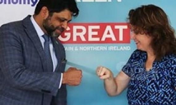
Papahanaumokuakea, a UNESCO World Heritage site, will receive more than 1 million dollars in funding from NOAA and the National Fish and Wildlife Foundation (NFWF) and another 3 million in matching funds from the grantees.
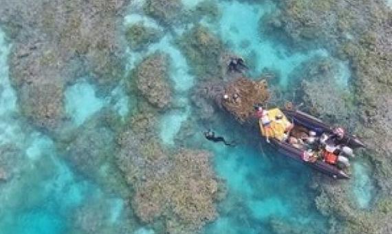
The National Fish and Wildlife Foundation (NFWF) today announced that its Papahānaumokuākea Research and Conservation Fund has awarded more than $1 million in funding across six projects to support management and conservation of Papahānaumokuākea Marine National Monument.
Sometimes you can find insight in surprising places.
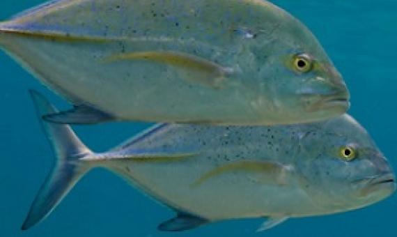
Ancient Hawaiians developed sophisticated natural resource management systems that included various forms of spatial management. The state of Hawaiʻi established its first legislated marine protected area (MPA) in 1953, and today there exists a patchwork of spatial marine management strategies along a range of sizes, with varying levels of governance, enforcement, and effectiveness. Approximately 12% of waters within the 50 m depth contour and 5% of waters within state jurisdiction (≤3 nmi) have some form of marine management.
The world is shut. Ninety+ countries have closed their borders. Seventy-five to 100 million people working in tourism are projected to lose their jobs. And trillions of dollars will evaporate from global economies. The overall picture is beyond stunning.
While other nations are using COVID-19 as an excuse to pause, or even roll back, Fiji won’t accept excuses when it comes to the environment.
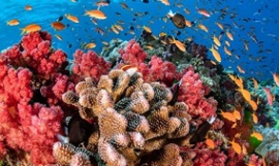
The world’s coral reefs do more for the planet than provide underwater beauty...Despite their importance, warming waters, pollution, ocean acidification, overfishing, and physical destruction are killing coral reefs around the world.
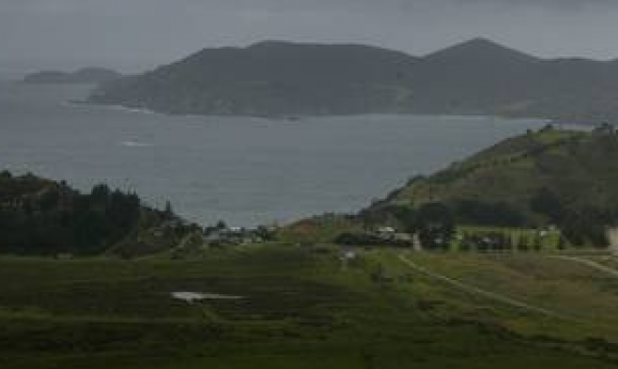
Public consultation on the proposed network of marine protection for the southeast South Island has resumed. The consultation process, originally due to end on April 17, was postponed because of Covid-19.
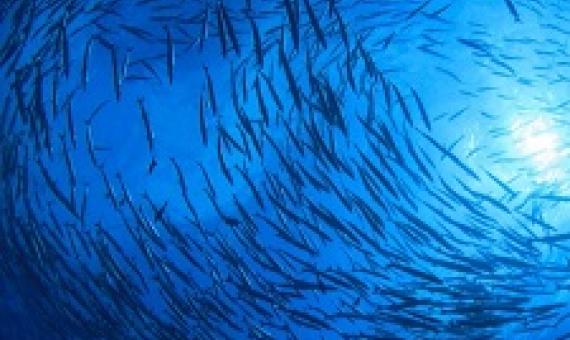
Managers of the American fisheries operating in the Pacific Ocean have asked President Donald Trump to open four national marine monuments to commercial fishing—a request that could inhibit protections in areas set aside, in part, for dwindling fish populations to renew themselves.

