
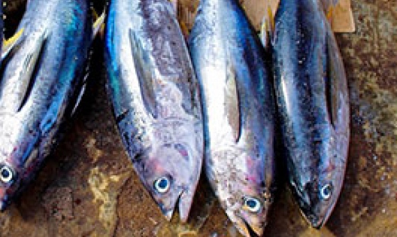
The waters of the Pacific Islands countries (PICs) are home to numerous aquatic species that are listed in the CITES Appendices, and which support livelihoods and economic opportunities for communities in over a dozen Parties to the Convention.
The waters of the Pacific Islands countries (PICs) are home to numerous aquatic species that are listed in the CITES Appendices, and which support livelihoods and economic opportunities for communities in over a dozen Parties to the Convention.
The Reef Resilience Online Courses have been designed to provide easy access to the latest science and strategies for managing coral reefs in a changing climate.
Day 3 session of the
The European Union is helping fund a Papua New Guinea's National Fisheries Authority programme to upskill government fisheries officers.
Day 1 session of the
Day 2 session of the recen
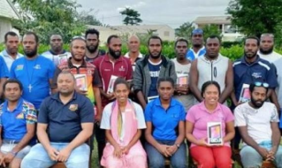
A week-long Fisheries Authorized Officer training was held last week at the Vanuatu Maritime College in Luganville, Santo.
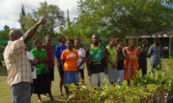
The University of the South Pacific (USP) European Union Intra-African, Caribbean and Pacific Global Climate Change Alliance and the Pacific Adaptation to Climate Change and Resilience Building (PACRES) have successfully organised a 3-day tree planting workshop for a number of communities in
In 2019, the Protected Areas Network (PAN) initiated joint efforts with the Bureau of Maritime Security and Fish & Wildlife Protection that aims to create a training program to enhance enforcement coordination and develop a conservation academy curriculum for PAN Rangers.
The Partnership for Observation of the Global Oceans (POGO) supports capacity building in oceanography for individuals and institutions in developing countries.

