Marine Bioregions of the Southwest Pacific - Marine and Coastal Biodiversity Management in Pacific Island Countries (MACBIO)
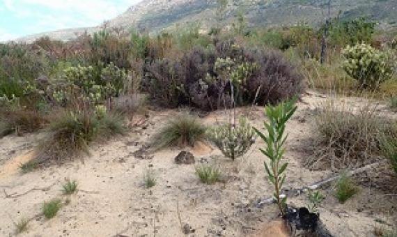
Bioregions, of course, are just one of the important data layers in indentifying an ecologically representative system of marine protected areas. To be truly ecologically representative and comprehensive, one must also consider all available information about habitats, species and ecological processes. In addition, socio-economic and cultural considerations are vital in the spatial planning process. This report is focussed upon one important, but only one, input to marine spatial planning: the development of marine bioregions.