The sounds of nature could help us recover from mental fatigue, but this power may be under threat as ecosystems deteriorate and people disconnect from the natural world, according to new research published in the journal Global Environmental Change. Led by a team from the Universit
Establishing a “visitor green fee” to protect our environment is one way the Hawaiʻi government could help care for the islands’ precious resources, according to a new blog by the University of Hawaiʻi Economic Research Organization (UHERO)...Fourteen destinations wo
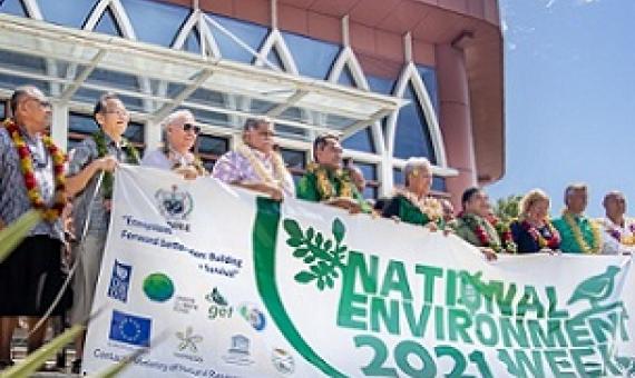
The Government on Monday officially launched the national environment week program which would see various thematic areas celebrated. Each day this week has been allotted to the different thematic areas with Monday 1 November 2021 dubbed by the Government as the National “Biodivers
Christmas Island (Pacific Ocean); reconnaissance geologic observation
Christmas island3, the largest atoll in the world in terms of
Global outlook for Ice & Snow
Ice, snow and climate change are closely linked. The Global Outlook for Ice and Snow investigates those linkages. It also presents information on the trends in ice and snow, the outlook for this century and beyond and the consequences to ecosystems and human well-being of these changes. It covers all parts of the cryosphere (the world of ice): snow, land ice, sea ice, river and lake ice, and frozen ground. The Global Outlook for Ice and Snow was written by more than 70 scientists from around the world.
Call Number: 551.578 4 UNI [EL]
SPREP country report : Tuvalu
Tuvalu consists of nine coral islands, rarely reaching more than 4
metres in highest elevation, with a total land area of 2,511 hectares.
Funafuti, Nanumea, Nui, Nukufetau and Nukulaelae are atolls, generally with
narrow strips of land on the east and reef with scattered islets on the
west. Nanumanga, Niulakita and Niutao are reef islands consisting of
single islets with brackish internal lakes. Vaitupu is intermediate in
type, with a large but virtually land-locked central lagoon.
Kept in the Vertical File|Available online
Coastal fisheries production on Nauru
The Republic of Nauru is a single raised limestone island or makatea with a total area of only 22 km2 (Figure 1), but with jurisdiction over 320,000 km2 of ocean surrounding the island under the United Nations Law of the Sea convention. The island consists mainly of a flat plateau that descends to a narrow coastal fringe where most of the population dwell. The plateau interior contains extensive deposits of phosphate bearing rock which have been mined since the beginning of the twentieth century.
Integrated water resource management : demonstration project, Apia Water Catchment: Samoa 2007
The Apia Catchment is Samoa's selected IWRM demonstration project zone. It accommodates Lake Lanoto'o and its two main tributaries - Vaisigano and Fuluasou Rivers, which are very important water sources for drinking water, hydropower, bio-diversity and tourism. Unfortunately, with increasing population and development pressures over the years, this catchment area has become significantly degraded from problems such as soil erosion, siltation, water pollution/contamination and water shortages, causing major concern to the Government.
Available online
Appendix H: Conceptual models and ecological overview of Pacific Island Network ecosystems In: HaySmith, L.F. Klasner, S.H. Stephens, and G.H. Dicus. Pacific Island Network vital signs monitoring plan
Development of conceptual models is an important step in the design of the Inventory and Monitoring Program. Conceptual models provide a framework for clarifying meaningful
Parks in the Pacific
More than a century ago,in 1870, a party of explorers travelled to the Amercian West. They had been sent to determinne the truth about fantastic tales of steaming rivers and bubbling pools. These explorers agreed among themselves,once to be as free as the air and water
Available online
Call Number: [EL]
Physical Description: 7 Pages


