This study contributes to the spatial-temporal understanding of human visitation and distribution patterns in protected areas by leveraging digital footprints, manifested as publicly shared geotagged photos, as an efficient spatial data source to (1) model spatial distributions of visitor us
The course provides an introduction for marine data managers to the application of Geographic Information Systems (GIS) to the marine environment using open source software (QGIS).
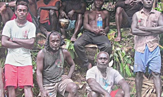
A local Non-Government Organisation (NGO) Ecological Solutions Solomon Islands (ESSI) has received a small grant from Global Green Grants Fund.
Protected area managers and stakeholders in Vanuatu have completed training in open-source Geographic Information System software...During the training participants learnt how to import, style, label and manage data, create their own protected area data and create professional maps.


