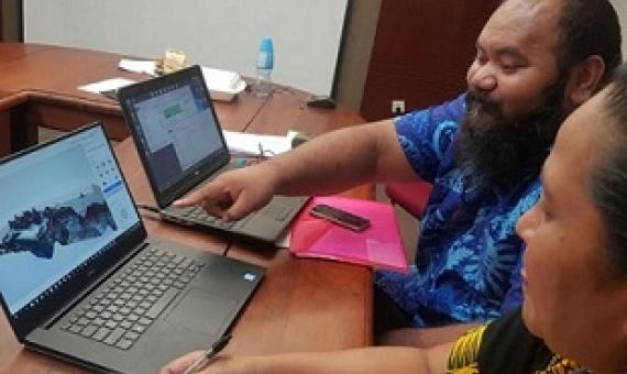
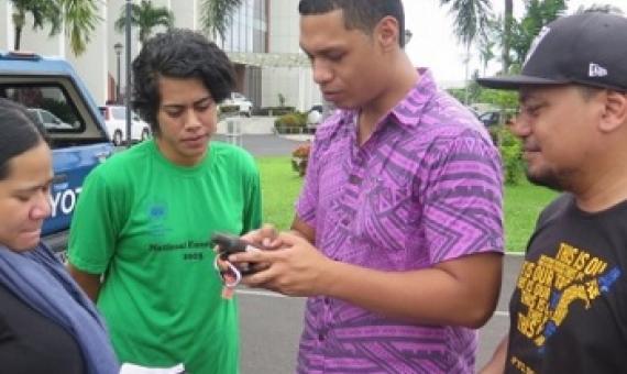
November 21, 2019
sprep-pa

The main objective of the training was to build the capacities of GOS and Government Corporations to increase their access to, and their skills in spatial data management, storage and use of GIS in natural resource planning.The training was organised by the Section of National Mapping under the T

These are the days of lasers in the jungle

For tropical forest carbon to be commoditized, a consistent, globally verifiable system for reporting and monitoring carbon stocks and emissions must be achieved. We call for a global airborne LiDAR campaign that will measure the 3-D structure of each hectare of forested (and formerly forested) land in the tropics. We believe such a database could be assembled for only 5% of funding already pledged to offset tropical forest carbon emissions. 

Full Paper (Pdf)

March 29, 2019
sprep-pa

SPREP would like to call for tenders from qualified and experienced GIS/spatial experts/practitioners who can offer their services to SPREP to coordinate technical assistance relating to spatial databases, data management, data delivery and technical capacity building for the Pacific Islands Prot