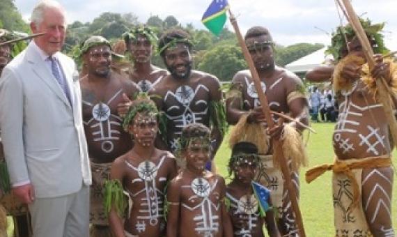
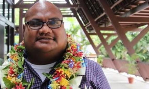
His Royal Highness, Prince Charles has launched the Solomon Islands Ocean Policy and Malaria Elimination Roadmap, Monday. Speaking at the launching ceremony at the Lawson Tama stadium, the Prince said the natural environment of the country is important for its prosperity and security.
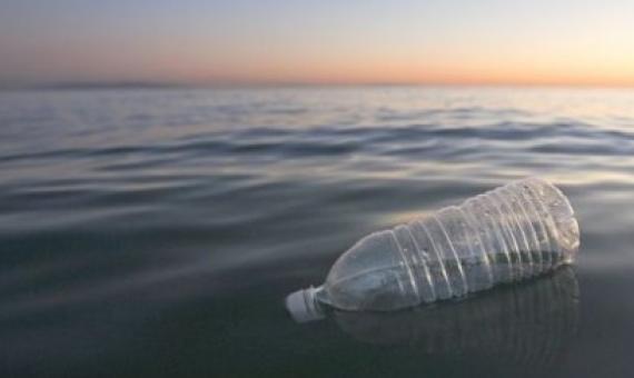
The Energy Department is launching a program to partner with the private sector in developing technologies to recycle plastic and keep waste out of rivers, oceans, and landfills.
Gaps in Protection of Important Ocean Areas: A Spatial Meta-Analysis of Ten Global Mapping Initiatives
To safeguard biodiversity effectively, marine protected areas (MPAs) should be sited using the best available science. There are numerous ongoing United Nations and nongovernmental initiatives to map globally important marine areas. The criteria used by these initiatives vary, resulting in contradictions in the areas identified as important. Our analysis is the first to overlay these initiatives, quantify consensus, and conduct gap analyses at the global scale.
The Cook Islands (South Pacific) experience in governance of seabed manganese nodule mining
The Cook Islands (CI), South Pacific, has one of the highest ratios of ocean to land area of any ocean island state in the world. Within it's EEZ exist abundant resources of seabed manganese nodules, thought to be the fourth richest resource of its type in the world, with a potential theoretical monetary value of c. $10 trillion US. The largely hydrogenetic nodules are rich in Ti, REE, Mn, Co and Ni. Economic studies suggest that a single twenty year-long mining operation could generate c. 150 jobs directly supporting 15% (c. $43M US) of the CI GDP.
The Forum Secretariat is now looking for a full-time Programme Officer (Marine Resource Development) to join the team in Suva, Fiji.
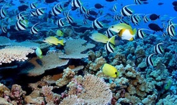
A team of marine scientists are on a mission to preserve biodiversity in oceans around the world. To do it, they need accurate maps that will help them identify areas in need of protection.
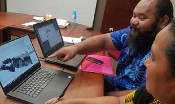
The main objective of the training was to build the capacities of GOS and Government Corporations to increase their access to, and their skills in spatial data management, storage and use of GIS in natural resource planning.The training was organised by the Section of National Mapping under the T
Pacific nations must look closely at every financial option available to help them better manage their resources, says Palau government minister Fleming Sengebau. Mr Sengebau, who is Palau's minister for natural resources, environment and tourism, is attending the Pacific Ocean Finance Confe
Plastic is building up in the areas of the ocean where fish feed and grow, according to research. A study found bits of plastic outnumber baby fish by seven to one in nursery waters off Hawaii.
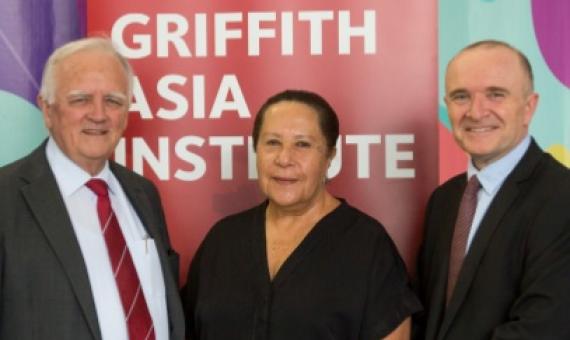
Secretary-General of the Pacific Islands Forum, Dame Meg Taylor headlined this year’s Griffith University Asia Lecture 2019 at the Queensland College of Art with a focus on the geopolitical and geostrategic issues of economy, security and climate change challenging the Asia-Pacific. Dame Meg

