June 10, 2022
sprep-pa

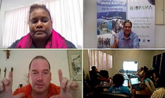
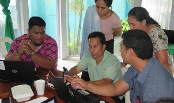
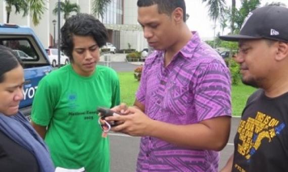
Government stakeholders of the Republic of Nauru are now equipped with hands-on, practical knowledge of finding relevant up-to-date data, information resources and technical guidance to assist planning for protected and conserved area establishment and management...It follows a virtual training o

PIPAP GIS Supplementary Training Video 3 : Mapping GPS Data in QGIS

This package/collection of training materials constitute an introductory, basic-level training to open source GIS software (QGIS) targeting technical-level government officers. The primary goal of the material is to provide participants with the tools to visualise, map, and collect spatial data for more effective planning and management of protected areas.

PIPAP GIS Supplementary Training Video 2 : Building Maps in QGIS

This package/collection of training materials constitute an introductory, basic-level training to open source GIS software (QGIS) targeting technical-level government officers. The primary goal of the material is to provide participants with the tools to visualise, map, and collect spatial data for more effective planning and management of protected areas.

October 30, 2020
sprep-pa

A virtually delivered national training for protected area stakeholders was successfully completed for Solomon Islands this week...The training provided participants with the basic competences and knowledge to navigate and use the tools and features of the Pacific Islands Protected Area Portal (P