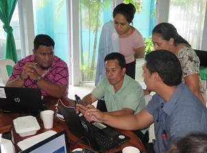
A two-day training co-organised and implemented by the Secretariat of the Pacific Regional Environment Programme (SPREP) and the Samoa Ministry of Natural Resources and Environment (MNRE) was successfully conducted for government officers last week. The training objective was to strengthen the capacity of government personnel to use geographic information systems (GIS). Participants learned how to utilise free, open source GIS software and records of spatial data in the field to produce basic maps of protected and conserved areas.