The Andrews Labor Government is taking the next steps to engage Victorians in determining new conservation, recreation and tourism opportunities in Immediate Protection Areas.
Expanding nature preserves will not be enough to stem a rising tide of extinctions, a panel of experts warned on Wednesday (Jan 19), taking aim at a draft treaty tasked with rescuing Earth's animal and plant life.
The world lost more than 12 million hectares of tropical forest in 2020, an area about half the size of the UK. Tropical forests contain much of the world’s animal and plant species and store more than half of its terrestrial carbon.
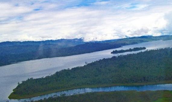
Another Conservation Achievement: Launching and Declaration of the Padezaka Tribal Rainforest Conservation Area as a legally designated National Protected Area.
Following on from a successful Bird of the Year competition, we are hopeful that many more people will now appreciate the value to our environment of our Cook Islands birds. They are one of Te Ipukarea Society’s key areas of work, and a space we have been working in for a long time.
The role of Indigenous peoples and local communities in effective and equitable conservation
Debate about what proportion of the Earth to protect often overshadows the question of how nature should be conserved and by whom. We present a systematic review and narrative synthesis of 169 publications investigating how different forms of governance influence conservation outcomes, paying particular attention to the role played by Indigenous peoples and local communities. We find a stark contrast between the outcomes produced by externally controlled conservation, and those produced by locally controlled efforts.
PIPAP GIS Supplementary Training Video 3 : Mapping GPS Data in QGIS
This package/collection of training materials constitute an introductory, basic-level training to open source GIS software (QGIS) targeting technical-level government officers. The primary goal of the material is to provide participants with the tools to visualise, map, and collect spatial data for more effective planning and management of protected areas.
PIPAP GIS Supplementary Training Video 2 : Building Maps in QGIS
This package/collection of training materials constitute an introductory, basic-level training to open source GIS software (QGIS) targeting technical-level government officers. The primary goal of the material is to provide participants with the tools to visualise, map, and collect spatial data for more effective planning and management of protected areas.
PIPAP GIS Supplementary Training Video 1 : QGIS Basics
This package/collection of training materials constitute an introductory, basic-level training to open source GIS software (QGIS) targeting technical-level government officers. The primary goal of the material is to provide participants with the tools to visualise, map, and collect spatial data for more effective planning and management of protected areas.
Protected Area Practitioners And Government Stakeholders Of Kiribati Are Now Equipped With The Hands-On, Practical Knowledge Of Finding Relevant Up-To-Date Data, Information Resources And Technical Guidance On Protected And Conserved Area Management. It follows a virtual training on the tool