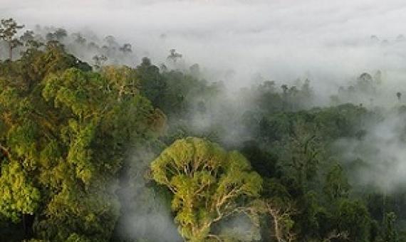
As governments map their road to recovery from COVID-19, protecting nature will be critical to preventing the spread of future zoonotic disease outbreaks, experts say. Yet a study released today...found that more countries undermined rather than supported nature in decisions m
Covid-19 is taking a "severe toll" on conservation efforts, with multiple environmental protections being rolled back, according to research.
Declines in Finfish resources in Tarawa lagoon, Kiribati, emphasize the need for increased conservation effort / Jim Beets
The very productive lagoon fisheries of Tarawa atoll changed greatly in recent decades as human development and intensive harvesting increased. Tarawa typifies the increasingly common condition of resource depletion and marine community structure change with expanding human activities and population growth. Fisheries-dependent reports have documented the change in fisher landings for nearly two decades. A comparison of fisheries-independent data collected during 1992-93 with data collected in 1977 allowed for documentation of large changes in important finfish resources in Tarawa Lagoon.
Fishery ecosystem plan for the American Samoa archipelago
This American Samoa Archipelago Fishery Ecosystem Plan (FEP) was developed by the Western Pacific Regional Fishery Management Council and represents the first step in an incremental and collaborative approach to implement ecosystem approaches to fishery management in American Samoa.
Available online
Call Number: [EL]
Physical Description: 245 p.
Strategic plan for the Conservation and Management of marine resources in the Pacific Islands region : summary
In April 2003, he National Marine Fisheries Service(NMFS,also known as NOAA Fisheries) transferred the responsibility for man aging the marine resources infederal waters surrounding the US Pacific Islands from NOAA Fisheries' Southwest Region based in california to the newly defined pacific islands region based in Hawaii.The Pacific Islands Region was established with the explicit intent of employing regional expertise to provide improved customer service and stewardship of living marine resources within the expansive geographic region of the western pacific.
Report on the examination of suspected dynamite fish (Monotaris grandoculis) from Aleipata
From Closer external and internal examinations,it is therefore conclude that the fish sampled was not caught from spear,gillnet or line and hook but maybe resulted from other means which can inflicted less external body damages such as 'ava niukini','bleach' or 'dynamite'(if postioned further away from the center of the blast).However,it was scientifically proved that fish at a distance of few hundred metres from the center of the blast can be killed by the impact of the underwater travel sound.
Available online
Call Number: [EL]
Community-based fisheries management program
The American Samoa Islands and its surrounding waters contain historical, cultural, and natural resources that must be protected, managed, controlled and preserved for the benefit of all people of the Territory and future generations. The protection of these traditionally valuable resources will enhance and increase fish abundance and size for future catch.
Republic of Palau marine resources profile
To date, few quantitative assessments of the marine resources of Palau have been conducted. For the off-shore tuna fishery, reasonable data time-series are available for the foreign access tuna fishery, but data for domestically based tuna operations are incomplete. For the near-shore fishery, reef resources are exploited by subsistence, commercial and recreational fishermen. Very few data are available that document trends in production for most reef-resident and reef-associated fisheries resources in Palau, except for the trochus fishery.
An annotated check list of the corals of American Samoa
Reef coral collections from American Samoa are in the National Museum of Natural History, Smithsonian Institution, Washington, D.C., and in the Hessisches Landesmuseum, Darmstadt, W. Germany. The author has a collection of 790 coral specimens for a total of 1547 items known to be from American Samoa.
A total of 177 species (including 3 species of non-scleractinian corals) belonging to 48 genera and subgenera (including the genera Millepora and Heliopora) known to date are listed with data as of frequency of occurrence and habitat.
Available online
Nukutipipi atoll, Tuamotu archipelago; geomorphology, land and marine flora and fauna and interrelationships
Nukutipipi atoll (5 km2), of volcanic origin 16-17 million years old on the Pitcairn (hot spot) Hereheretue line, presents a land flora and fauna of low diversity but with a Pisonia forest and hundreds of resident red-tailed tropic birds. Nukutipipi suffered from the 1983 hurricanes : destruction of vegetation and motu as well as sand lagoon mollusc populations. The north and south rims present original geomorphological structures.


