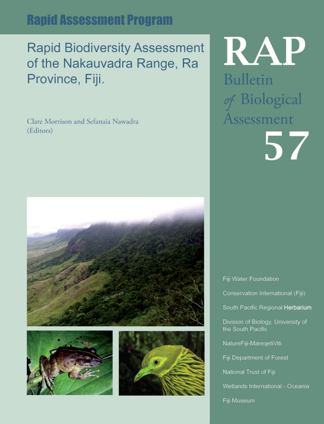
The Republic of Fiji consists of approximately 300 islands located roughly 3000 km east of Australia in the Pacific Ocean (between 16o and 20oS, 177oW and 175oE). There are four main islands in the Fiji group: Viti Levu, Vanua Levu, Taveuni and Kadavu. The two largest islands, Viti Levu (10,544 km2) and Vanua Levu (5,535 km2) comprise 88% of the total land area (~18,300 km2). It is estimated that no more than 100 islands are permanently inhabited. Most of the islands are the remnants of once active volcanoes sitting on a piece of the Pacific Plate. The landforms of the major islands are diverse and often spectacular, marked by sharp volcanic plugs, ruined calderas, deep gorges and ravines carved by mountain streams, wide flat-bottomed valleys, extensive flood plains and mangrove dominated deltas. Fiji’s larger volcanic islands are dominated by steep mountainous country. The highest mountain, Mt Tomaniivi on Viti Levu is 1323 m and there are 30 peaks over 1000 m (Nunn 1998).


