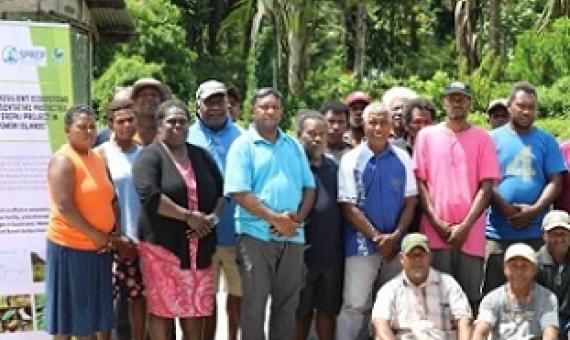
Over the weekend a team consisting of staff from the Environment and Conservation Division (ECD) and the ‘Ensuring Resilient Ecosystems and Representative Protected Areas in Solomon Islands’ (EREPA) project held a successful discussion with communities from Manawai to Masupa to introduce the conc
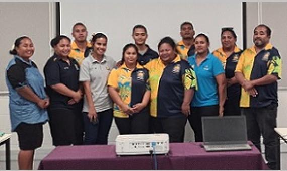
A national training for government officers across the environment and fisheries sectors as well as non-government organisations co-organised and implemented by the Secretariat of the Pacific Regional Environment Programme (SPREP) and the Samoa Ministry of Natural Resources and Environment (MNRE)
Government stakeholders of the Republic of Nauru are now equipped with hands-on, practical knowledge of finding relevant up-to-date data, information resources and technical guidance to assist planning for protected and conserved area establishment and management...It follows a virtual training o
Pacific Islands Regional Marine Species Programme 2022–2026
The Pacific Islands Regional Marine Species Programme (Marine Species Programme) of the Secretariat of the Pacific Regional Environment Programme (SPREP) is a regional strategy for conserving and managing dugong, marine turtles, whales and dolphins, sharks and rays, and seabirds, referred to throughout this document as marine species. The programme is designed to support SPREP Pacific island countries and territories, excluding metropolitan Members.
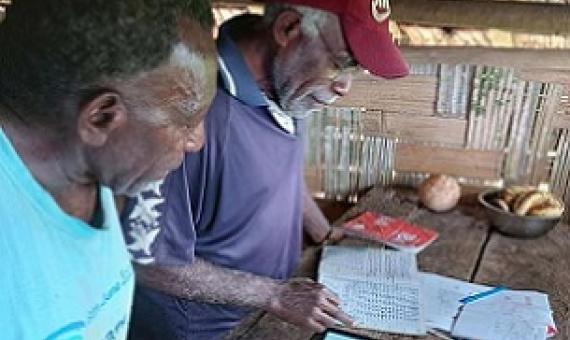
Malekula’s Marine Turtle Community Conservation is making a difference in concerted efforts to save Vanuatu’s sea turtles. “We have to do everything we can to save sea turtles in the country,” Noel Kaibaba of Bamboo Bay, Malekula said.
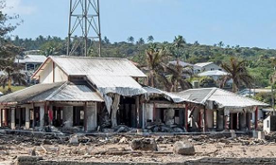
The Secretariat of the Pacific Regional Environment Programme (SPREP) is deeply concerned about the impact of the Hunga Tonga - Hunga Ha’apai underwater volcano eruption, and tsunami, on the people of the Kingdom of Tonga.
PIPAP GIS Supplementary Training Video 3 : Mapping GPS Data in QGIS
This package/collection of training materials constitute an introductory, basic-level training to open source GIS software (QGIS) targeting technical-level government officers. The primary goal of the material is to provide participants with the tools to visualise, map, and collect spatial data for more effective planning and management of protected areas.
PIPAP GIS Supplementary Training Video 2 : Building Maps in QGIS
This package/collection of training materials constitute an introductory, basic-level training to open source GIS software (QGIS) targeting technical-level government officers. The primary goal of the material is to provide participants with the tools to visualise, map, and collect spatial data for more effective planning and management of protected areas.
PIPAP GIS Supplementary Training Video 1 : QGIS Basics
This package/collection of training materials constitute an introductory, basic-level training to open source GIS software (QGIS) targeting technical-level government officers. The primary goal of the material is to provide participants with the tools to visualise, map, and collect spatial data for more effective planning and management of protected areas.


